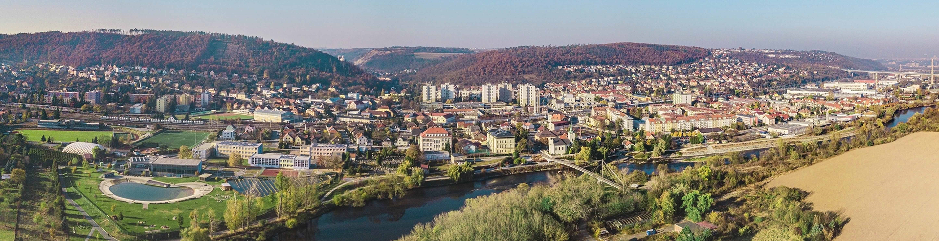
15. Radotínské Skály and Viewpoints
The Radotínské skály Nature Monument is an important geological site consisting of two areas north of K Cementárně Street. It protects a geological profile documenting the development of the Prague Basin during the Upper Ordovician, Silurian and Lower Devonian, as well as the evolution of life during these periods. It serves as a reference profile related to the global stratotype of the Silurian–Devonian boundary (GSSP Klonk) and includes several fossil localities of major stratigraphic importance.
At the southeastern edge, the oldest rocks of the Upper Ordovician are exposed. These transition into the black graptolite shales of the Litohlavy and Motol formations, characteristic of the Silurian. Further northwest, the profile is composed mainly of shales and limestones of several formations: Kopanina, Požáry, Lochkov and Prague. This is one of the finest exposures of the Silurian–Devonian boundary beds in the Czech Republic.
The area contains several typical fossil sites, yielding brachiopods, bivalves, gastropods, cephalopods, trilobites and graptolites. The best‑known localities are found in the lower part of the Lochkov Formation in the Antipleura Ravine, and in the boundary beds of the Lochkov and Prague formations at the site known as Šikmá skála.
Source: http://lokality.geology.cz/3966
The site is among the most important paleontological localities. Photo: Jakub Mareš
Photo: Českomoravský cement
Thermophilous grassland communities grow on the rocky slopes. The northern part of the protected area above the cement plant is covered with lime dust, making it species‑poor. Here, only a few hardy plants occur, such as white stonecrop and early thyme. Much more valuable is the treeless upper section of the slopes, where calcareous soils support species‑rich grassland communities.
Opposite the cement plant, beside the road, lies an abandoned quarry where limestone was once extracted for the original Radotín cement works. At that time, the cement plant stood in the centre of Radotín, and limestone was transported to it by a rail siding.
The southern part of the Radotínské skály is formed by Ordovician shales and quartzites. This is one of the key reference profiles for the boundary between the Kosov and Králův Dvůr stages, exposed at only a few sites in Bohemia. In 1950, a mycorrhizal fungus, the Radotín tricholoma (Tricholoma radotinense), was discovered nearby.
In the limestone section near the road lies the Travertine Spring. When groundwater reaches the surface, the balance of dissolved carbonates is disrupted, causing excess calcium carbonate to precipitate as tufa (travertine).
For more than a century, the viewpoints around Radotín have been popular destinations for walkers. View from the Radotínské skály towards Radotín, 1929
Another viewpoint once stood on the opposite hill, Klapice. The view captured in a photograph from 1930 is no longer visible today, as it has been obscured by mature trees — but slightly higher up, a new viewpoint has opened thanks to recent forestry work.